About
3,249 photos · 35 countries · 25 years
Updated regularly with past and new travels — stay tuned.
A personal collection of travel photographs, gathered over the years, country by country. Moments, feelings, landscapes and places, kept deliberately simple with different entry doors:
The 2D map and 3D globe navigate by geography — pick a country, be carried away. Browse the country gallery, tap a photo for full screen. Already viewed countries turn darker on the map.
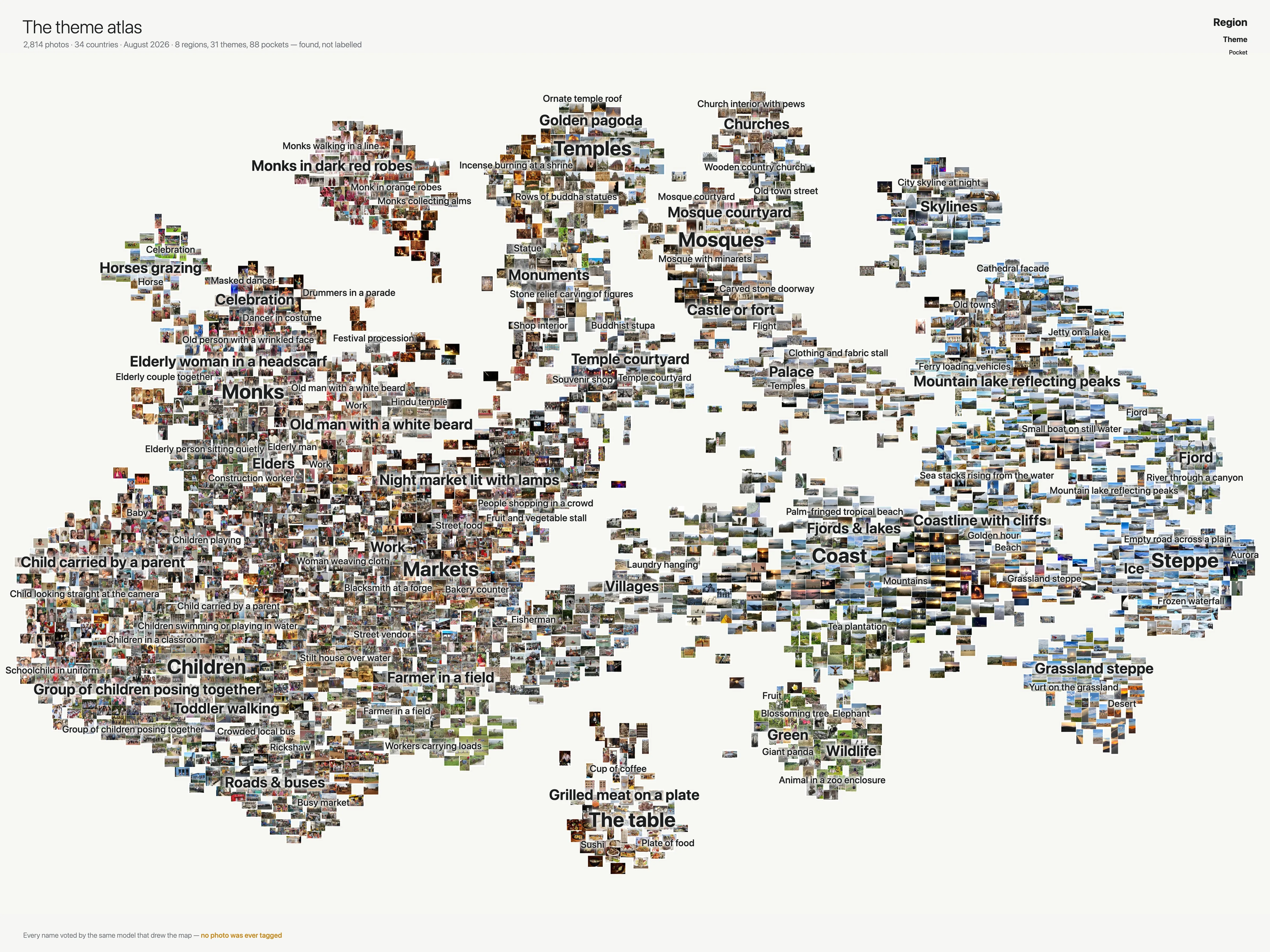
The Atlas leaves geography behind: the entire collection on one map, arranged purely by visual likeness — similar photographs sit together, whatever the country or year. Zoom into portraits, landscapes, wildlife or whatever theme you like. Or tap any photo and step onward: each one leads to its nearest neighbour, a slow drift through children, markets, food, ceremonies, monasteries, mountains, sunsets — the whole archive as one unbroken walk across the globe.
The Countries index lists every country with its photos and years visited.
In earlier years I used a Canon SLR with Tamron zoom, in later years just a smartphone.
How does the Atlas arrange the photos?
By likeness alone. No tags, no captions, no manual sorting — a vision model looks at every photograph and places it near the ones it resembles. Portraits gather with portraits, temples with temples; the islands and continents you see are simply the themes I kept returning to over the years.
Everything is computed once, offline: each photo becomes a point in a high-dimensional "similarity space" (SigLIP), that space is flattened onto a plane (UMAP), overlapping photos are nudged apart until each is fully visible, and the finished picture is cut into map tiles at every zoom level — the same trick street maps use. Your browser never computes anything; it just pans and zooms a static image (OpenSeadragon), which is why the whole archive opens as fast on a phone as on a desktop.
Each ingredient is well proven — museums and research labs have built similarity maps of their collections for years, as desktop-only installations with custom rendering engines. Baking one into ordinary static map tiles, so a complete personal archive glides on any phone, is a combination I haven't seen elsewhere; as far as I can tell, this little Atlas is the first of its kind.
Say hello — LinkedIn
Rainer's homepage — rainer-deutschmann.de